

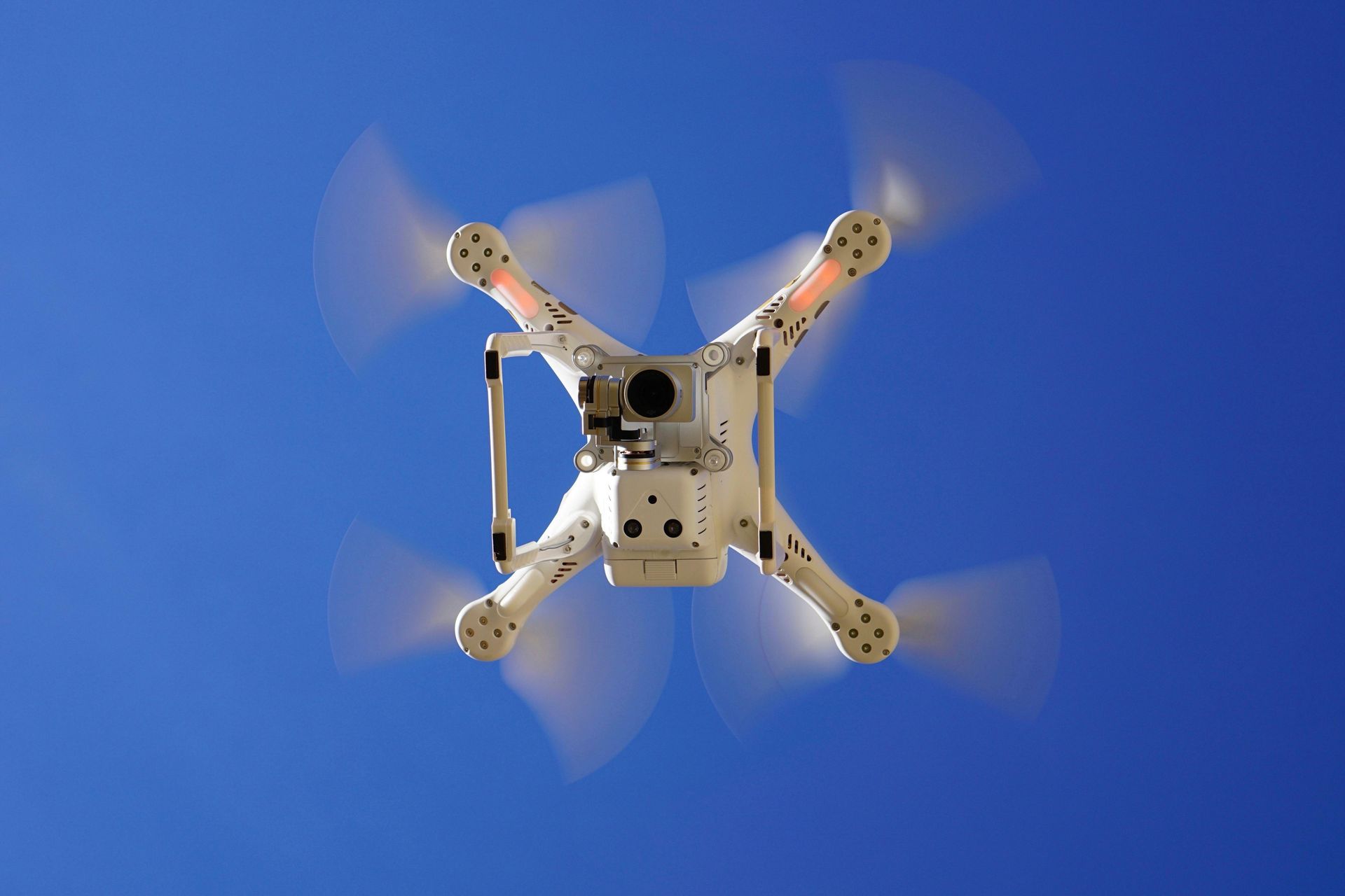
Drone Surveillance & Aerial Property Intelligence
A controlled way to gather defensible visuals, verify site conditions, and reduce uncertainty before action. We deploy drones to support enforcement and property recovery work — with privacy, legality, and professional judgment built in.
Defensible Visual Record
Wide-angle context plus targeted close-ups to reduce dispute about condition, access, and key site indicators.
Risk Reduction
Pre-visit intelligence to avoid preventable escalation — hazards, fencing, obstacles, entry routes and egress.
Thermal Support
Where appropriate, thermal imaging can highlight unusual heat patterns that may justify further lawful enquiries.
Operational Clarity
Helps you decide the right next step with calmer, cleaner information — before boots hit the ground.
What Drone Piloting Supports
This service is built to complement enforcement and property recovery work — giving you clarity before decisions are made on the ground.
Pre-Action Recon & Planning
Verify access points, gates, fencing, rear alleys/yards, outbuildings and obvious hazards before controlled attendances.
External Condition Surveys
Rooflines, gutters, chimneys, elevations and rear walls — captured without scaffolding for a clear photographic record.
Dispute / Risk Intelligence
Boundary layouts, access obstruction, unauthorised storage, vehicle positioning, and visible occupation indicators.
Encampment & Trespass Support
Scale, access routes, hazards and proximity risks — supporting proportionate, planned decision-making.
Rural Land Monitoring
Large or difficult terrain checks: animals, temporary structures, access points, perimeter condition and route planning.
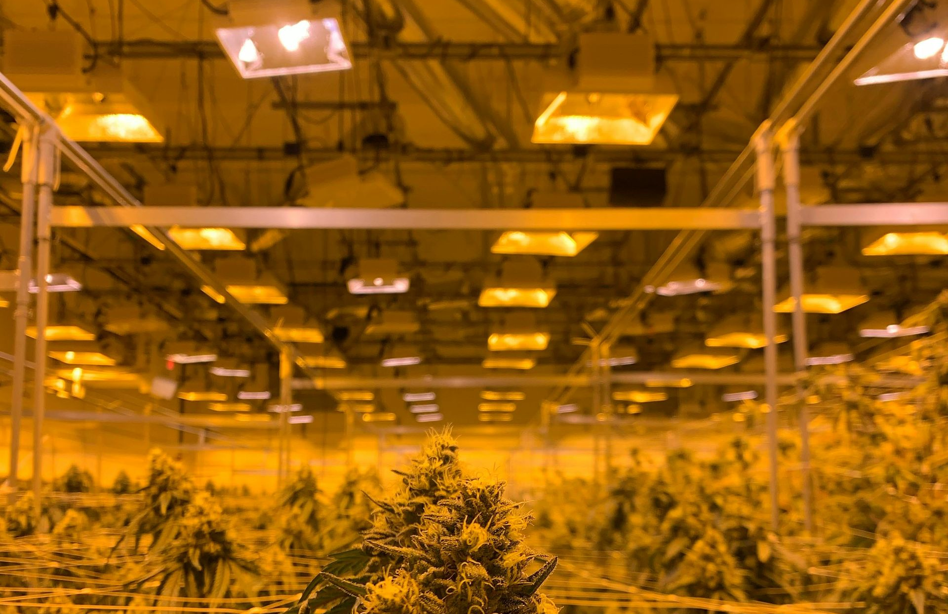
Thermal Anomaly Indication
Highlights unusual heat patterns where lawful and appropriate. We do not “diagnose” criminal activity — we indicate anomalies to inform lawful next steps.
Roof & Fabric Checks
Photographic evidence of external condition and defects without scaffolding.
Thermal Support & Anomaly Checks
Where lawful and appropriate, thermal imaging can indicate unusual heat sources for escalation.
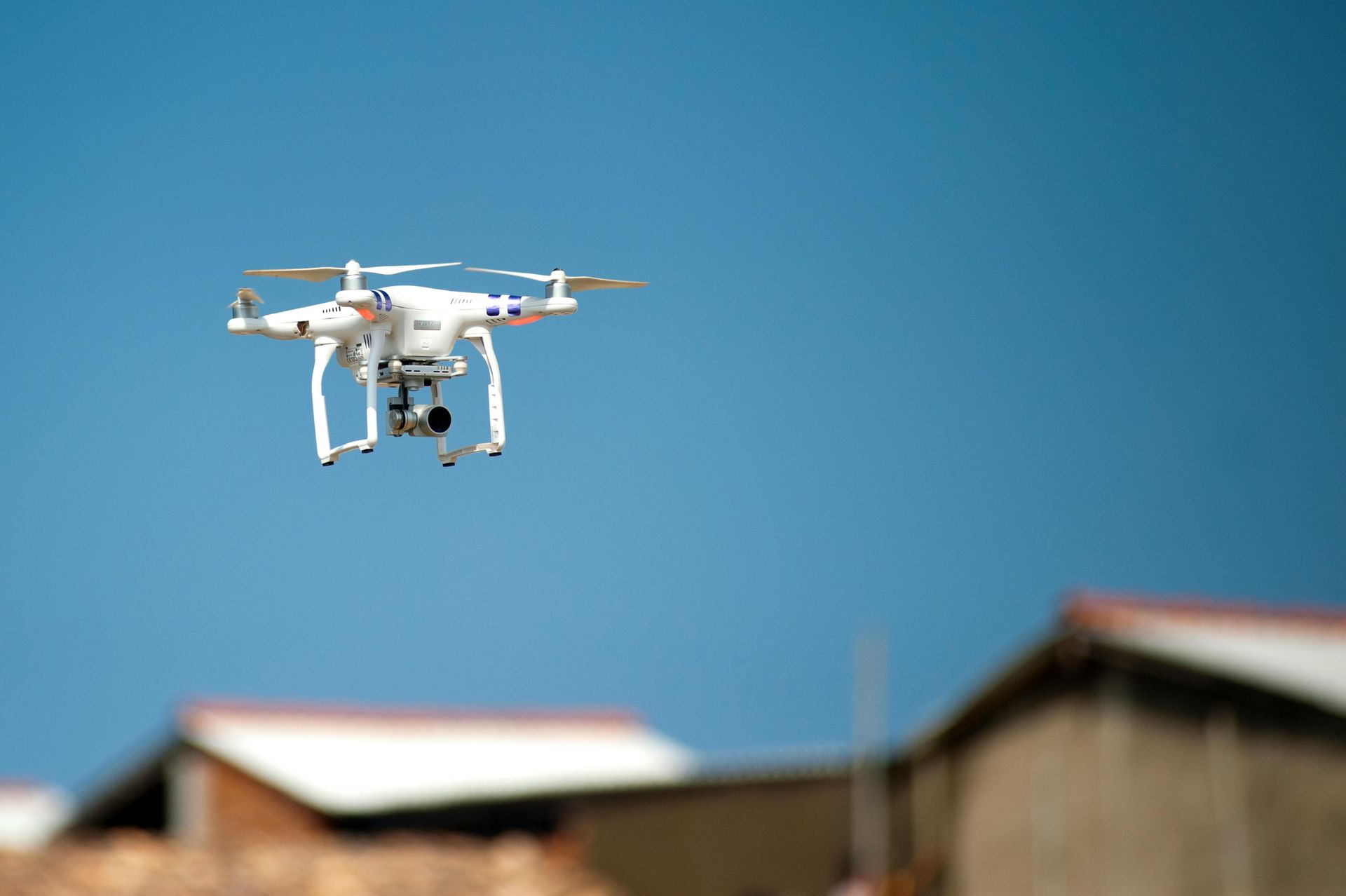
Aerial Site Intelligence
Rapid context capture for access routes, hazards, boundaries, and site layout.
How Deployment Works
Scope & Purpose
You tell us what decision this supports. We define a capture plan around necessity and proportionality.
Feasibility & Safety
We check airspace, take-off/landing, nearby roads/people, and weather. If it’s not appropriate, we’ll advise alternatives.
Flight & Capture
Minimum necessary capture for the objective — focusing on property/land features and relevant context.
Outputs
Key stills/clips plus a concise written summary covering observations and implications for next steps.
UK Regulation, CAA Requirements & Data Handling
Drone operations in the UK sit within an established legal and regulatory framework. Our deployments are planned and executed to meet applicable requirements, with a privacy-first approach and documented decision-making.
- Air Navigation Order 2016 (as amended): the core legal framework that governs aircraft, including unmanned aircraft, and safety duties.
- CAA unmanned aircraft rules & operational categories: flights planned around operational limitations and, where required, specific operational authorisations/permissions.
- UK GDPR & Data Protection Act 2018: footage handled as controlled evidence material; retained and shared on a need-to-know basis for the stated purpose.
- Privacy, necessity & proportionality: capture is limited to what is required to meet the objective and avoids unnecessary filming of individuals or neighbouring private areas.
- H&S controls: site assessment for take-off/landing, bystander risk, nearby roads, and adverse conditions before and during flight.
If your organisation requires a compliance pack (method statement summary, risk notes, data handling note), request it in the first email.
What We Need From You
A clean intake makes the output stronger and deployment faster.
- Site address/postcode and access notes (gates, security, keyholder)
- Objective(condition record, access check, intelligence, verification)
- Priority areas(roof, rear yard, outbuildings, boundary edges, vehicle yard)
- Deadline / preferred timing
- Known risks(dogs, hostile occupiers, safeguarding concerns, sensitive neighbours)
Drone Surveillance — Common Questions
Clear answers, defensible tone.
Is drone surveillance legal? ⌄
It can be, but it depends on purpose, location, and operational constraints. We plan flights around necessity and proportionality, within the UK regulatory framework, and will not proceed where a flight isn’t appropriate or safe.
Can you use drones to look for cannabis farms? ⌄
We can conduct thermal anomaly checks where lawful and appropriate. We do not “confirm” criminal activity from drone data. If an anomaly appears unusual, the correct next step is a lawful escalation (professional inspection, landlord checks, or referral to police where appropriate).
What do I receive after the flight? ⌄
Typically: key still images, short clips where needed, and a concise written summary aligned to your objective (access, hazards, condition points, visible indicators, or anomalies).
Will neighbours be filmed? ⌄
Our aim is to capture the minimum necessary for the stated purpose, focused on the property/land in question. Where neighbouring areas are unavoidably within frame, capture is kept tight and handled as controlled material.
What can stop a deployment? ⌄
Weather (wind/rain), restricted airspace, unsafe take-off/landing, and privacy/safeguarding constraints. If a flight can’t be done responsibly, we advise alternatives.